On this page
Other services
Need a survey?
Tell us the objective and the site. We’ll recommend the method and scope.
Methods
Choose the method for each objective
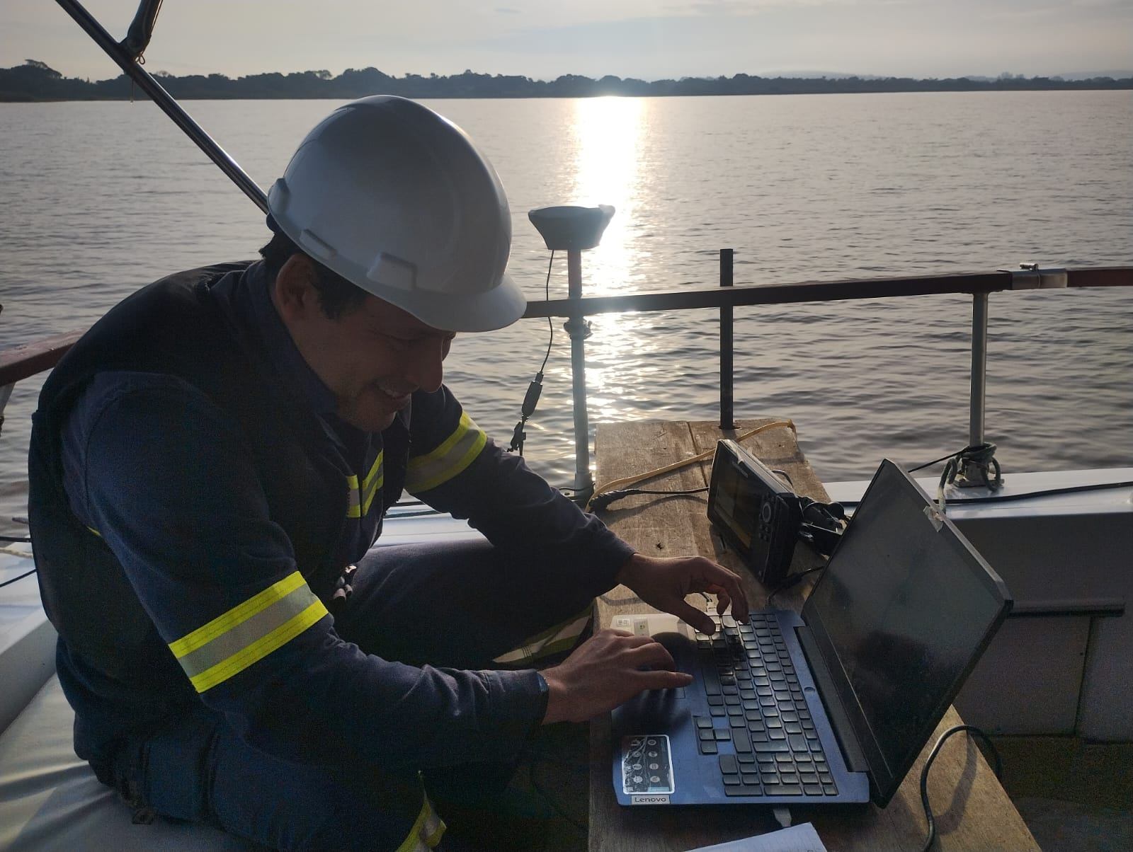
Seabed
Bathymetry
Maps water depth and seabed shape.
Basis for: port projects, dredging and crossings.
Delivers: bathymetric map
Seabed surface
Side-scan sonar
Images the seabed to identify obstacles, structures, pipelines and bottom features.
Delivers: seabed image mosaic
Where we apply it
Applications
Ports and terminalsOutfalls and pipelinesCrossingsOffshore wind feasibility
Other services
Let’s talk about your project
Tell us the objective, the site and the project stage. We’ll recommend the most suitable method and scope.