Home › SpectraGround 3D
SpectraGround 3D
See beyond the borehole
Boreholes investigate points. MASW investigates profiles. SpectraGround 3D brings them together to investigate volumes.
On this page
Explore
Want to see SpectraGround 3D?
We’ll present the methodology and assess how it applies to your project.
Vs(x,y,z)
SpectraGround 3D is SpectraGeo’s methodology for integrated ground characterization. It combines 2D MASW, HVSR and the project’s geotechnical tests into a continuous three-dimensional model of the ground.
The problem
Why a 3D model
Boreholes are essential, but they only describe the ground where they were drilled. Between two boreholes, conditions are estimated by correlation. SpectraGround 3D adds geophysical information in those gaps and helps identify:
Abrupt lateral changesBedrock depressions and paleochannelsWeathered zones and low-stiffness materialsThickness changes and geological contacts
Methodology
How it works
01 · Map
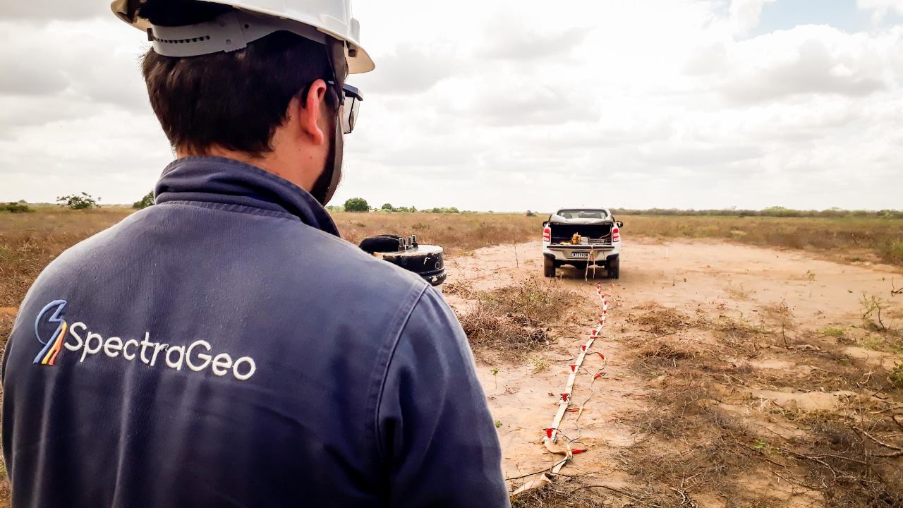
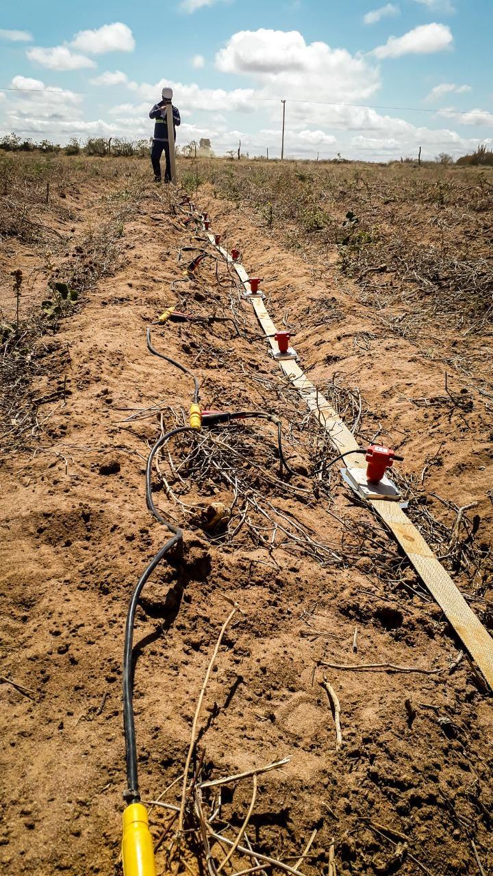
2D MASW grid
Parallel, orthogonal or project-adapted lines. Each line produces a shear-wave velocity section.
02 · Constrain
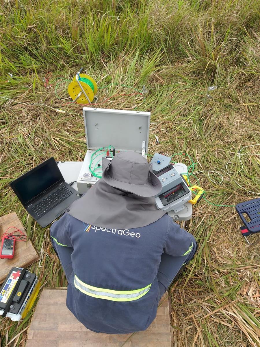
HVSR stations
Characteristic frequencies and impedance contrasts between and along the lines, giving continuity to interfaces.
03 · Integrate
Geotechnical data
SPT, CPT, DMT, rotary boreholes, crosshole and downhole calibrate and validate the geophysical interpretation.
Deliverables
What you get
3D blocks and profiles in any directionHorizontal Vs slices (e.g. 5, 10, 20 and 30 m)Bedrock and competent-material surfacesLow-velocity volumes and thickness mapsFundamental frequency mapsConfidence and uncertainty indicators
Platform in operation · version 1
Data platform
Project data is organized on SpectraGeo’s own platform. Version 1 is already running on real projects, and new features are added continuously.
Digitization
Structured data
Borehole logs and photos turned into structured data, with quality control.
Visualization and GIS
Everything on one site
Cross-referenced tests, up-to-date maps and the project’s geological-geotechnical model.
Clients
Who it’s for
Contractors and developersEngineering and geotechnical consultanciesMining companiesDrilling contractors
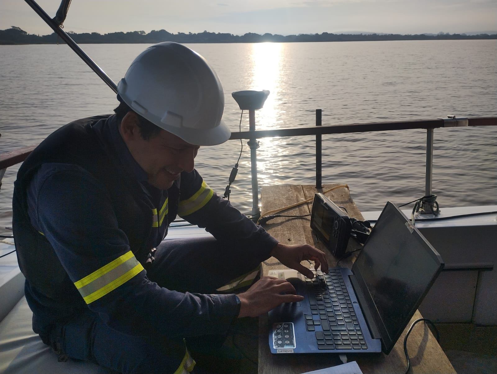
Let’s talk about your project
Tell us the objective, the site and the project stage. We’ll recommend the most suitable method and scope.